Rocks, 3D Maps and Otherworldly Colour
I was recently invited to visit The Logical Choice at their studio at Aerohub in Newquay. Where Sian and Luca let me scan a selection of rocks on their METIS DRS 2020 DCS Plus scanner.
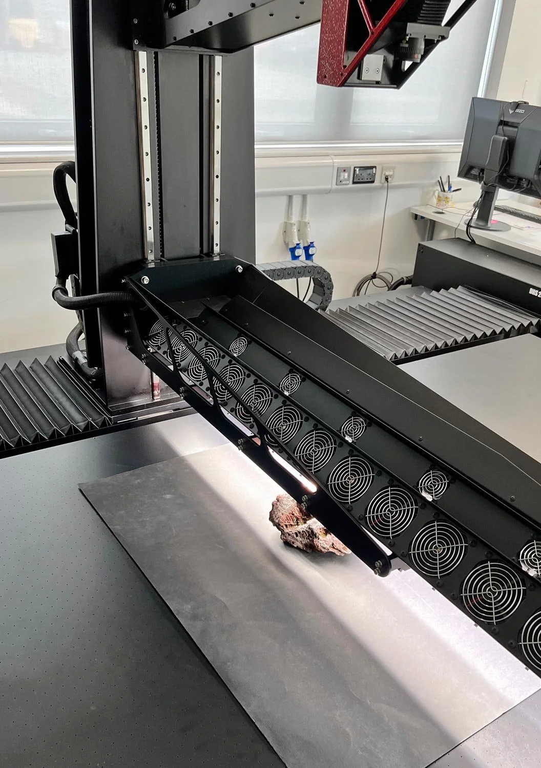
The METIS is a high-end large format scanner that does something most scanners don't. Alongside a colour image, it generates a set of maps describing the physical properties of a surface: depth, normal, roughness, glossiness. This impressive piece of machinery is designed for things like surface replication and fine art reproduction but I wanted to see how I could use it for my colour manipulated geological studies.
Blender
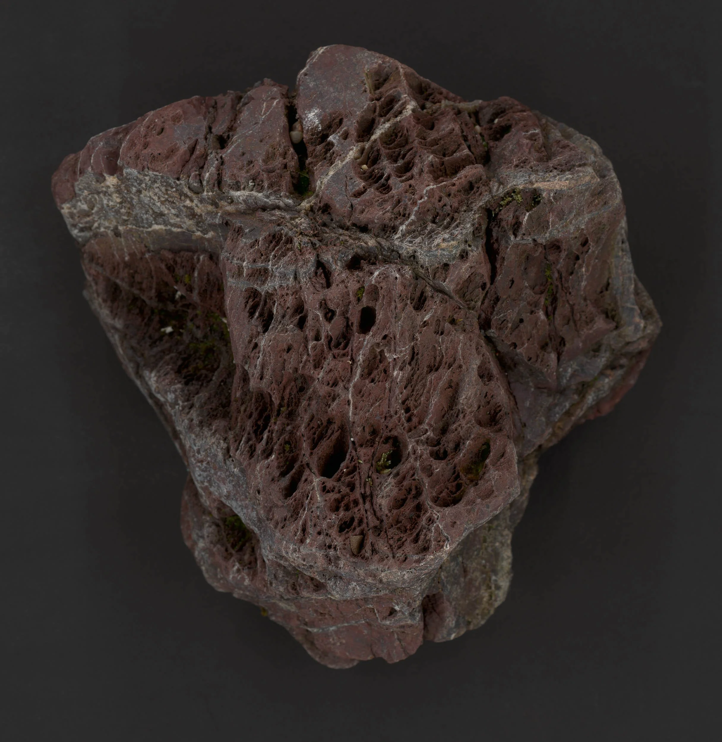
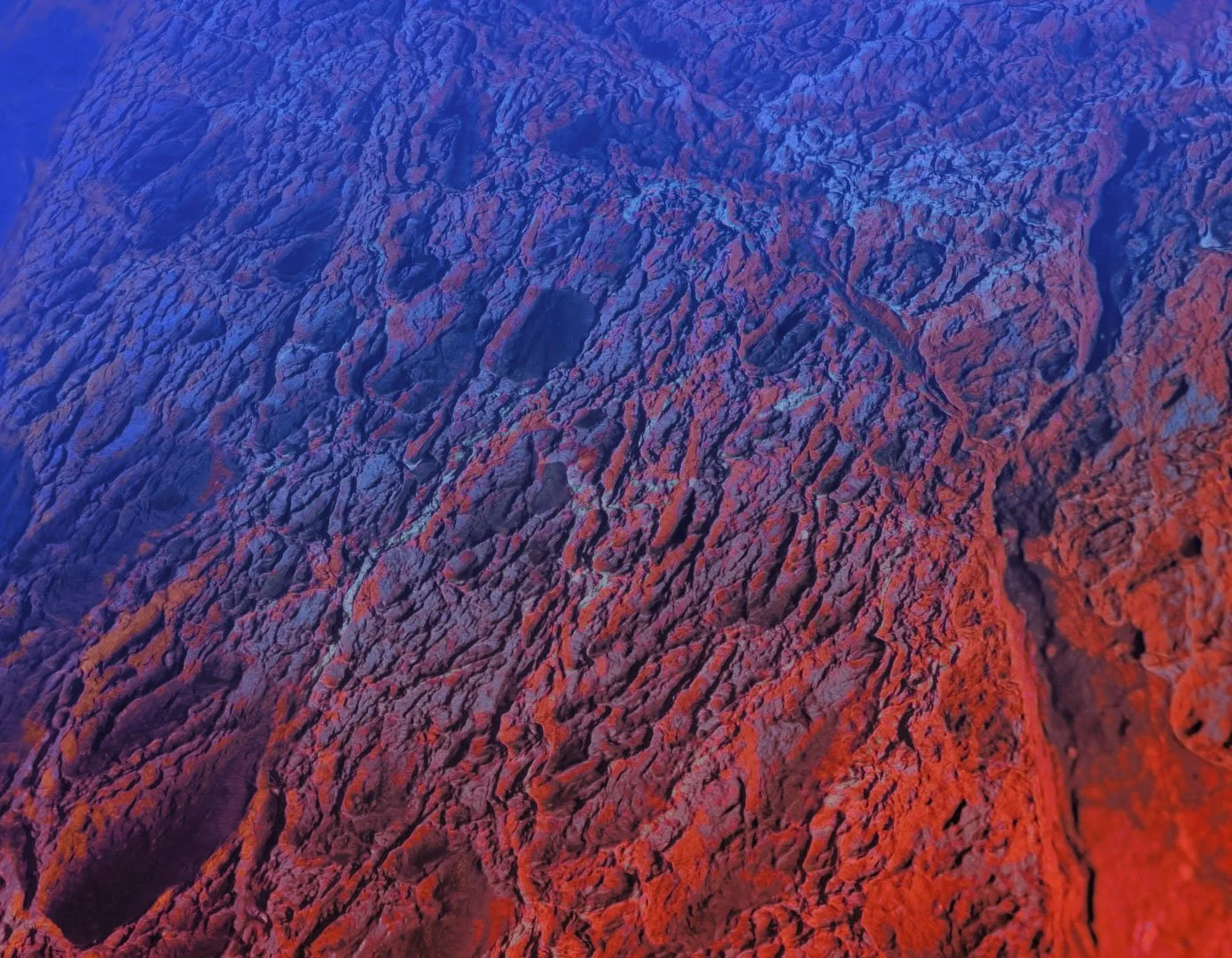
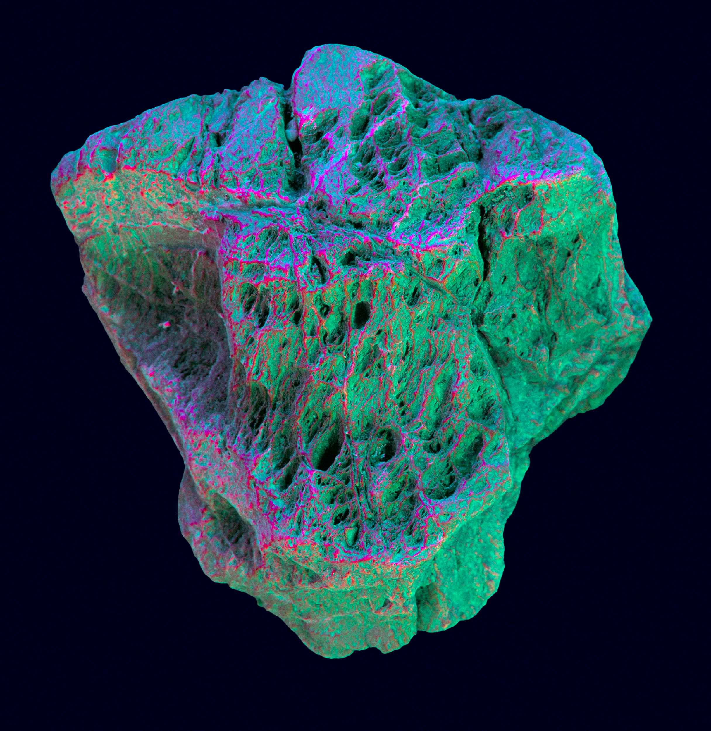
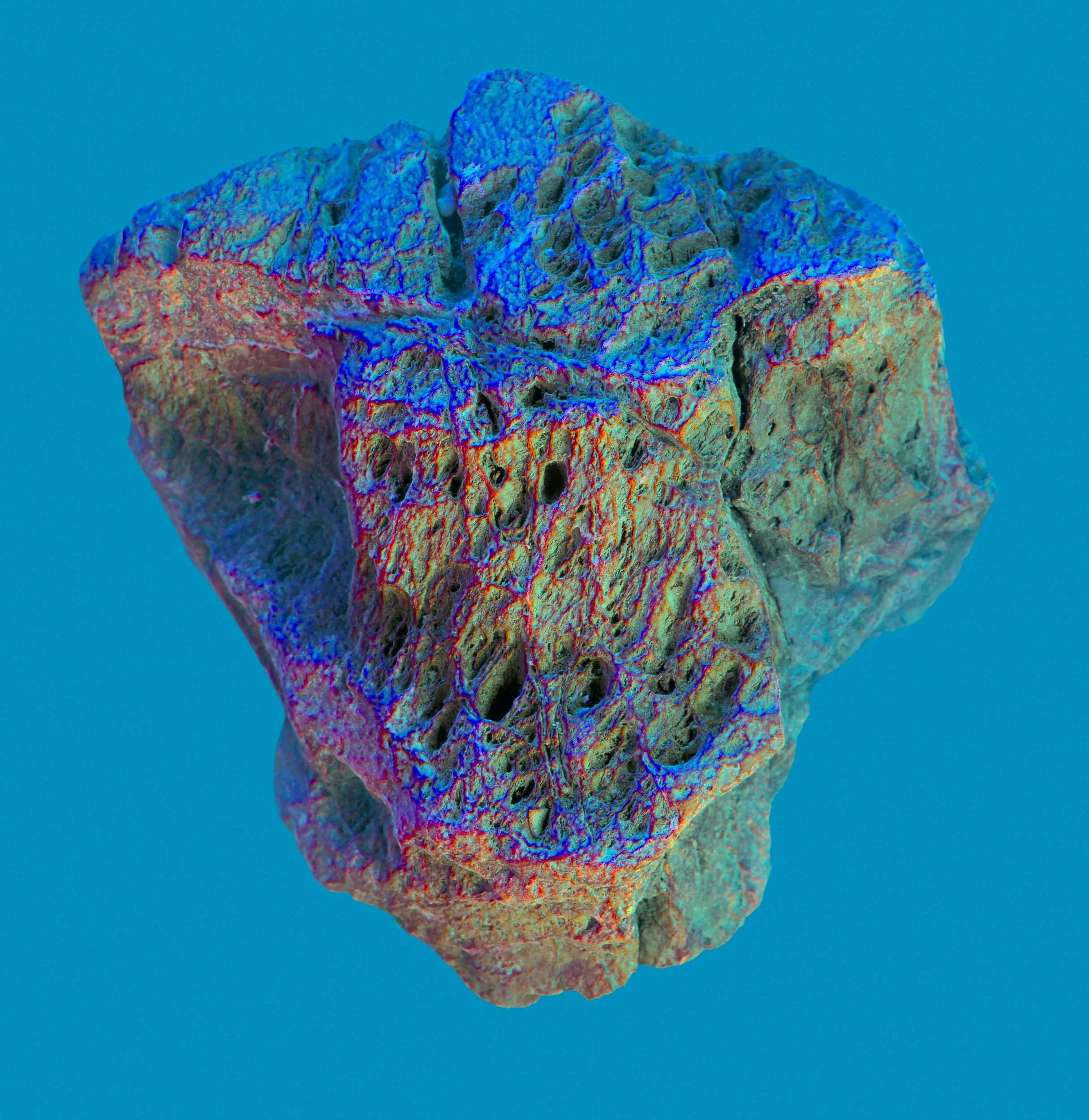
The scan maps fed straight into Blender as texture inputs. The METIS produces very accurate surface data, and at a macro level that accuracy starts to read differently. What began as a faithful reproduction of rock surface became something closer to an expansive landscape. Different lighting setups and some colour grading took the renders somewhere geological but not quite real.
Photoshop
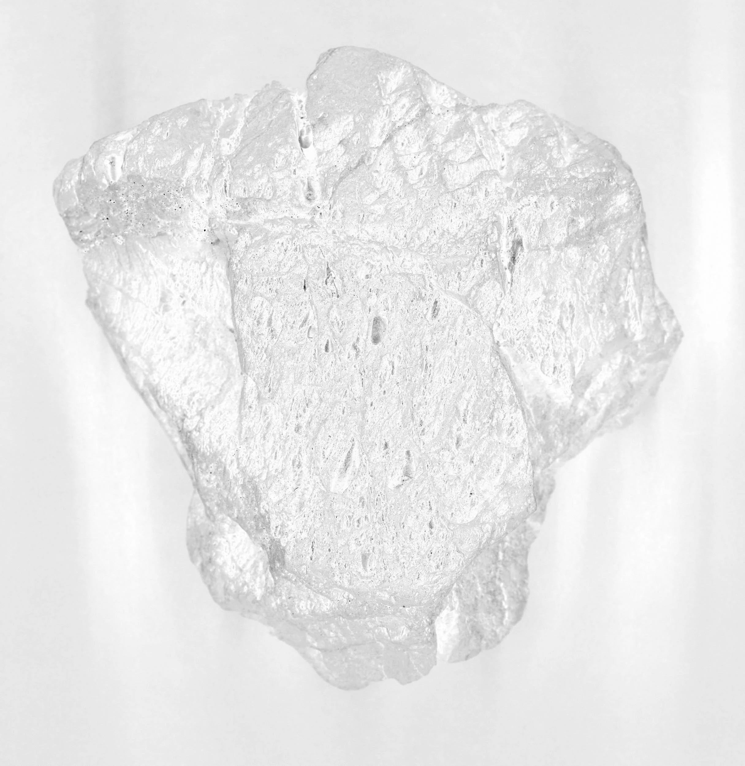
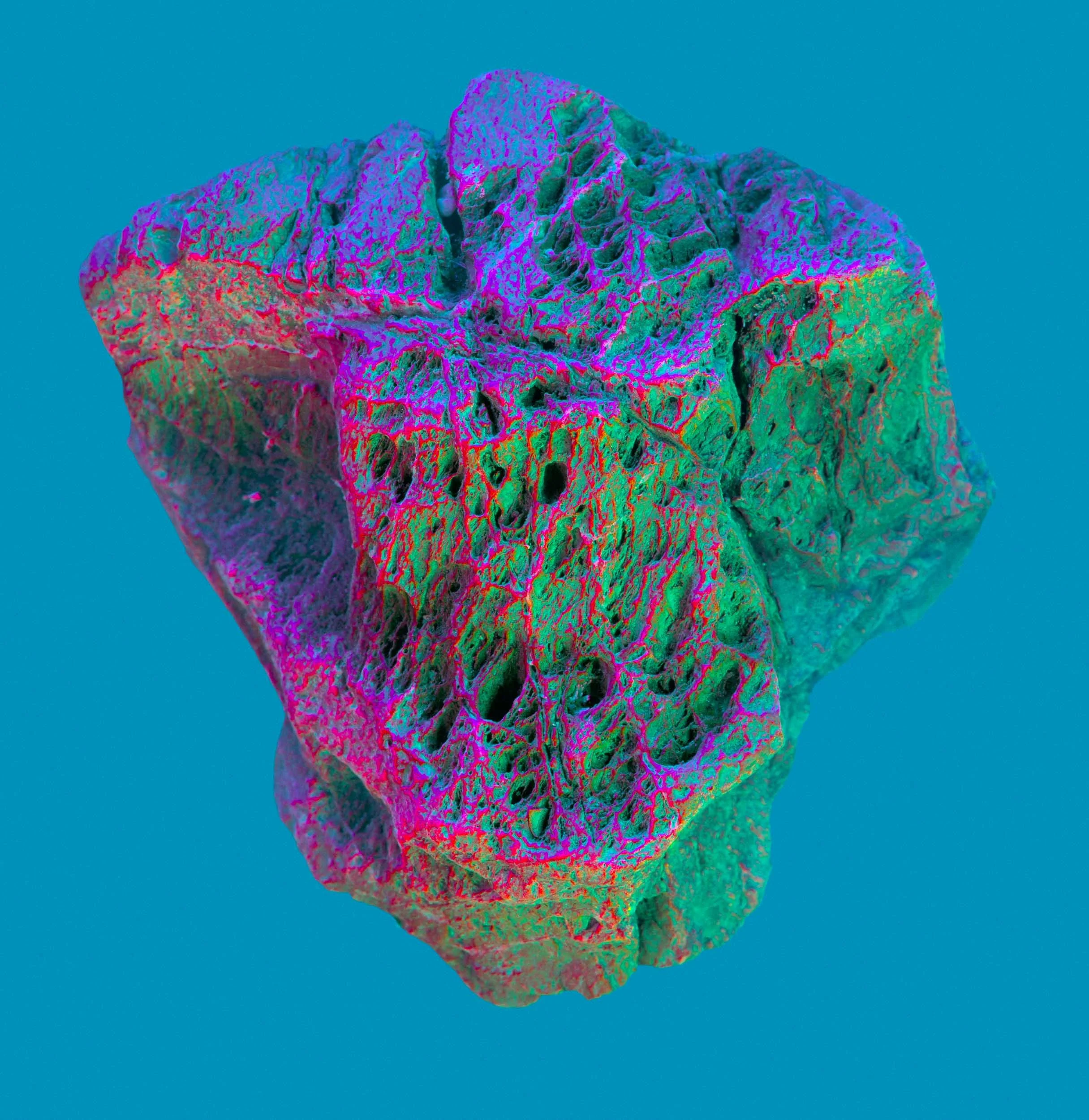
Here the maps became masks. The depth information, for instance, produces a natural greyscale gradient that separates relief from flat areas perfectly. Using these to drive hue and saturation adjustments created colour relationships no light source would ever produce on the actual rock.
After Effects
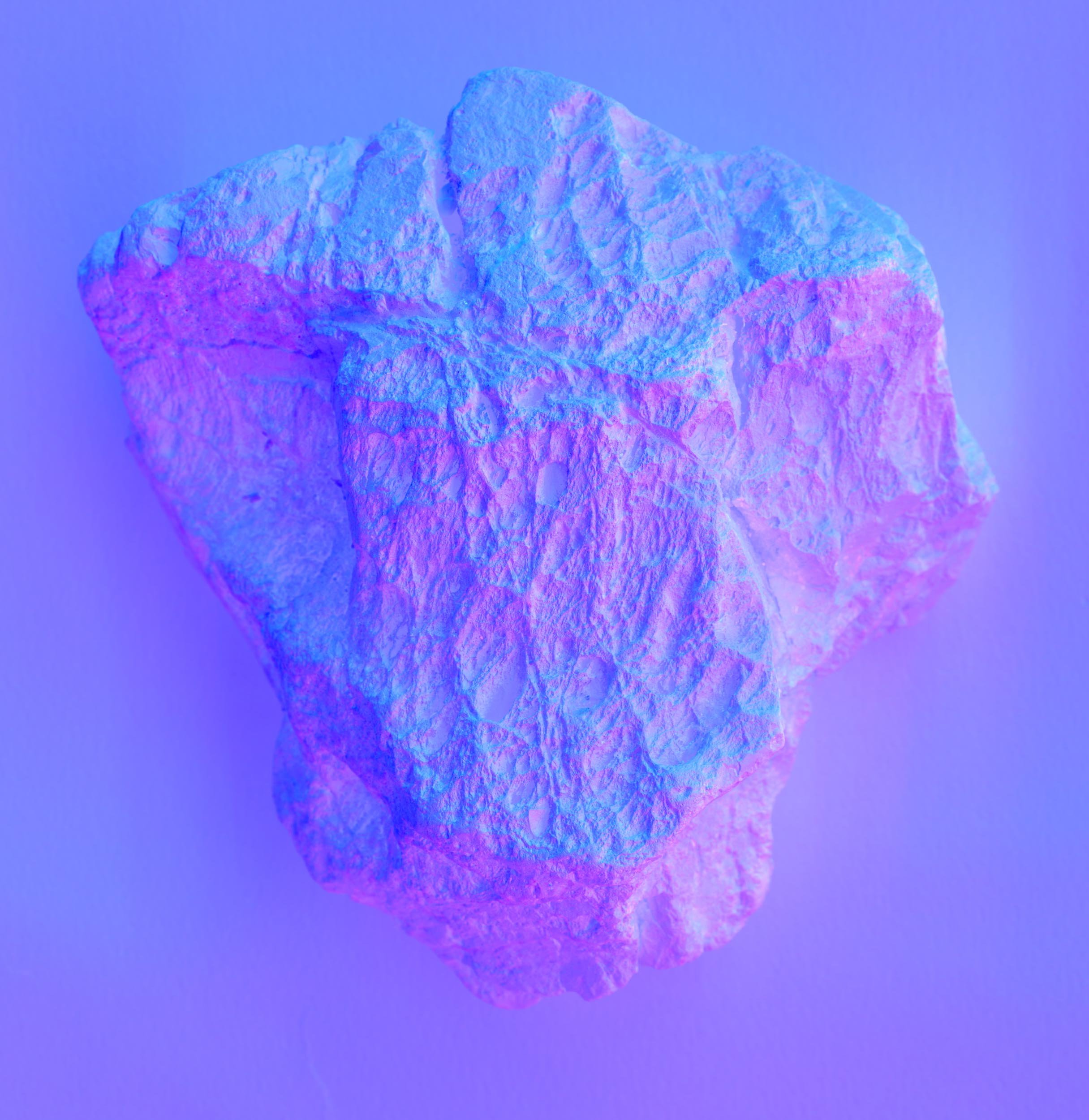
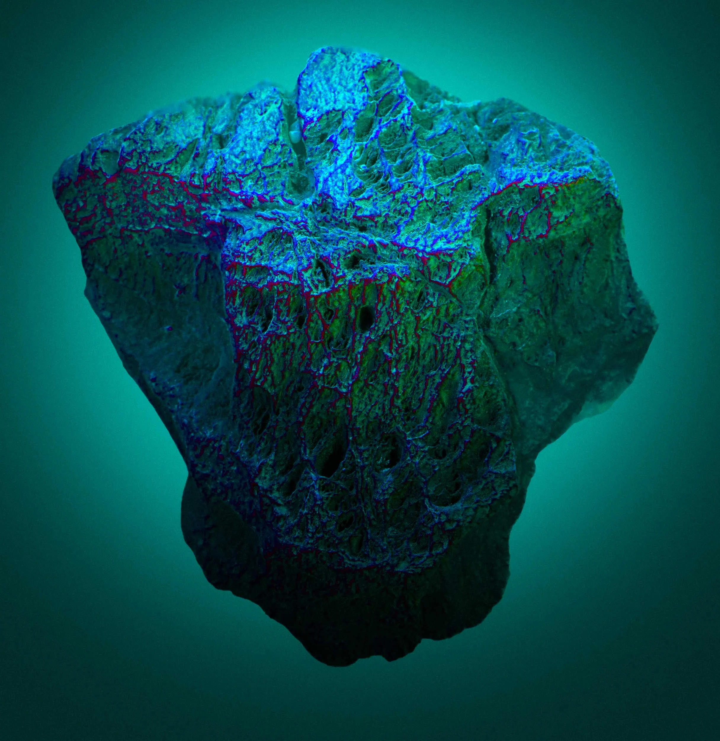
The final experiment used additional depth maps and After Effects to build a short colour-shifting looped animation. The rock floats. The colour moves across it slowly. It reads less like a stone from a Cornish beach and more like something brought back from considerably further away.
Much of this is not what the METIS is designed for. But the quality of its output is exactly what made these experiments worth doing. Precise data, used sideways, can take you somewhere unexpected. Thanks to Sian, Luca, and the team at The Logical Choice for the access and the time
A bit more about The Logical Choice and the METIS scanner
The Logical Choice
Based at Aerohub in Newquay, The Logical Choice is a creative production studio working across publications, fine art, graphic design, 3D scanning, print, and digital. They operate studios in both the UK and New York, and they have a genuine enthusiasm for the intersection of technology and creative practice.
The Scanner: METIS DRS 2020 DCS Plus
The METIS DRS 2020 DCS Plus is a large format scanner designed primarily for industrial and decor applications. With a scanning bed of up to 200 x 120 cm and a 16K imaging sensor capable of up to 1600 PPI, it captures surfaces at a level of detail that goes well beyond standard digitisation. What makes it genuinely unusual is its patented DC Synchrolight system, which dynamically controls eight light sources during scanning, and its ability to extract 3D data from 2D colour information. The output isn't just an image. It's a set of maps: depth, normal, roughness, glossiness, and more, each describing a different physical property of the scanned surface. These are the raw materials of serious digital production workflows. They're also, as it turns out, creatively very interesting when used for something else entirely.
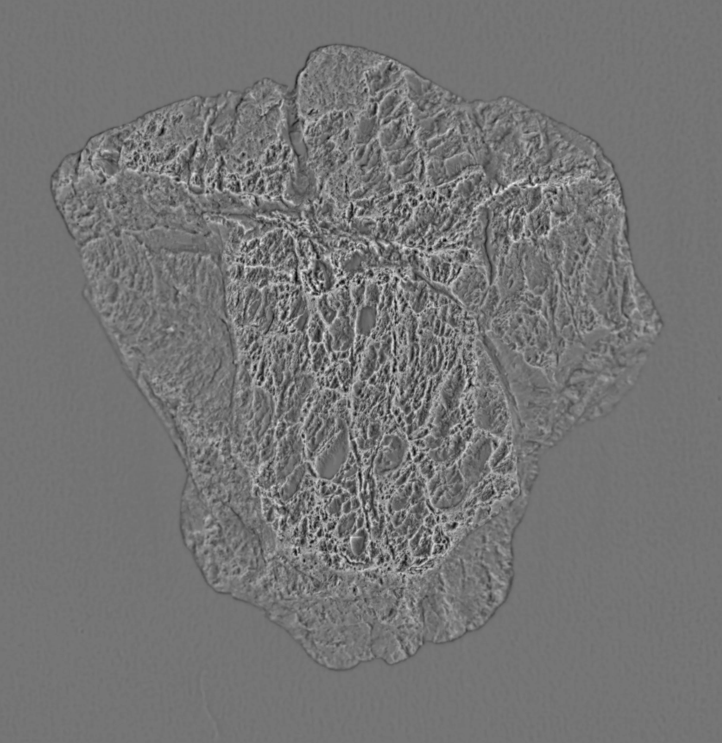
What are 3D Surface Maps
Most scanners capture colour. The METIS captures everything else as well. A depth map encodes surface relief as a greyscale gradient, light where the surface is raised, dark where it recedes. A normal map records the angle of every point on the surface relative to the camera, storing that information as RGB data. A roughness map describes how light scatters across the surface, and a glossiness map captures reflectance. Together they describe the physical reality of a surface in enough detail to reproduce it.